Kuril Islands History: 6 Untold Stories of a Disputed Paradise
There is a place where two of the world’s most powerful nations still cannot agree where one country ends and the other begins — and it happens to be one of the most beautiful landscapes on Earth. The Kuril Islands stretch in a long volcanic arc through the fog of the North Pacific, home to smoking cones, drift ice, sea otters and abandoned concrete bunkers. Almost nobody goes there. Almost nobody agrees who owns it.
This is Kuril Islands history told in six untold stories: a chain of geography, treaties, vanished peoples and unfinished wars that together explain why the Northern Territories dispute remains one of the last unresolved borders of the twentieth century.
1. A 1,300-Kilometre Arc That Barely Anyone Has Seen
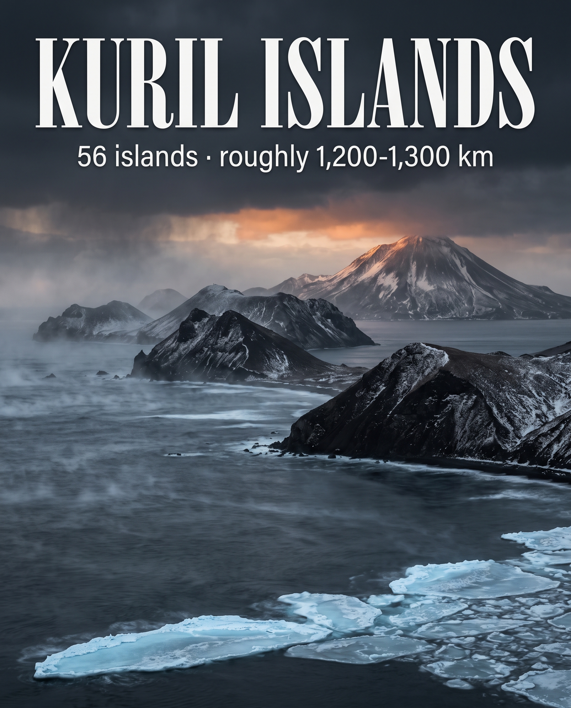
The Kurils are a chain of about 56 islands forming a roughly 1,300-kilometre arc between Japan’s northern island of Hokkaido and Russia’s Kamchatka Peninsula. On a map they look like stepping stones — a dotted line drawn between two empires. In reality they are among the most inaccessible remote islands in the Northern Hemisphere.
Fog, storms and drift ice seal the archipelago off for much of the year. There are no easy ferries, no resort strips, no coastal highways threading the islands together. The result is a landscape that has been left largely to itself: cliffs, tundra, black volcanic beaches and bays where the only regular visitors are seabirds and the occasional fishing vessel.
Why the isolation matters
Isolation is not just a travel detail here — it is the reason the Kurils became contested in the first place. A chain this remote was slow to be mapped, slow to be settled and easy to claim on paper long before anyone could effectively govern it. Every treaty that followed was, in a sense, an attempt to fix lines onto a place that was still mostly unknown.
2. The Islands Are Still Being Rebuilt by Fire
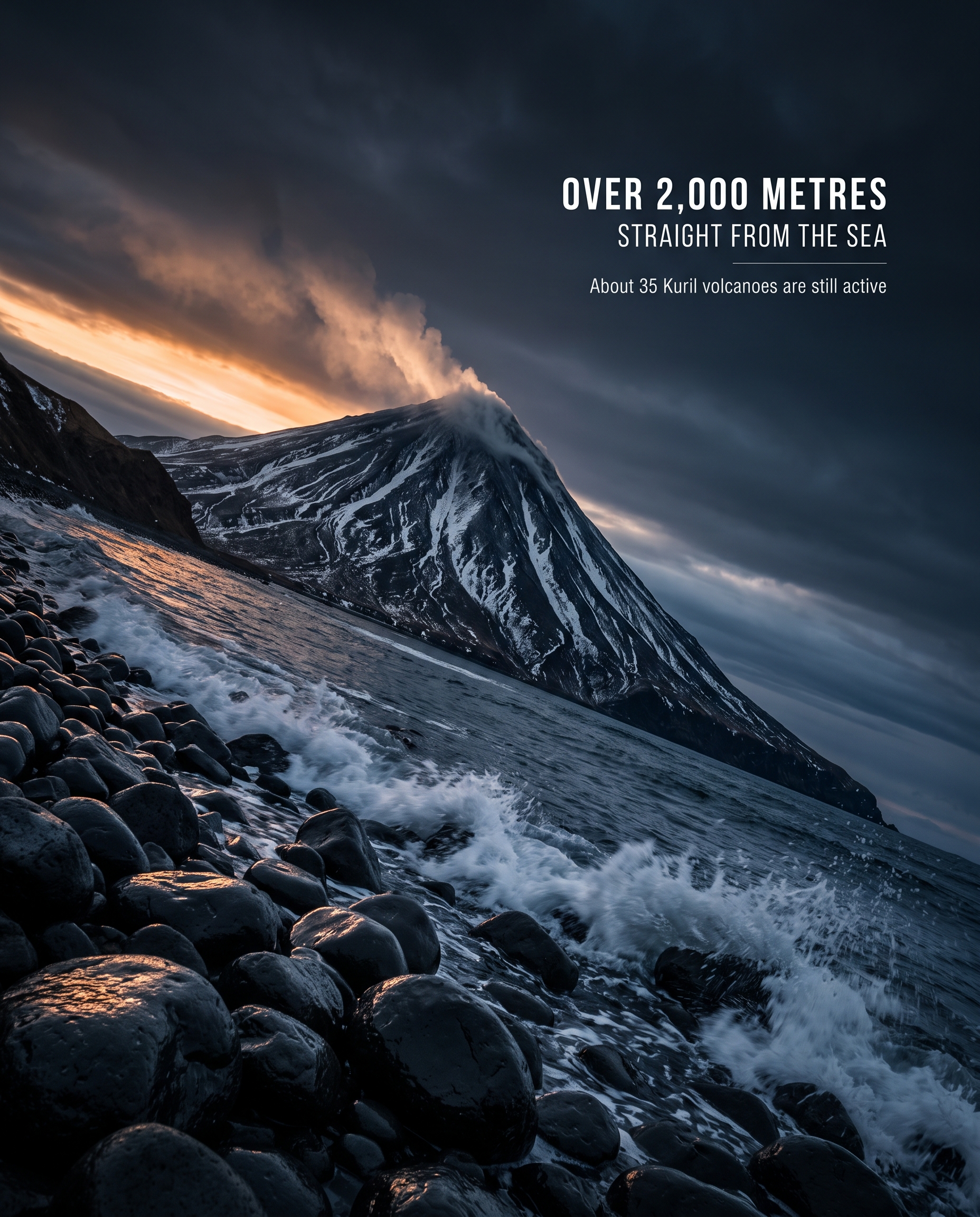
The chain sits directly on the Pacific Ring of Fire, and that single fact shapes everything about it. Roughly 40 of the Kuril volcanoes are still classed as active. The archipelago is not a finished landscape; it is a work in progress, constantly reshaped by eruption and earthquake.
The highest of them, Alaid, rises more than 2,000 metres straight out of the sea — a near-perfect cone with no foothills to soften it, just water and then mountain. Seen from a ship’s deck through a break in the fog, it is the kind of view that explains why writers have called the Kurils a paradise despite the weather trying to kill you.
A border that refuses to hold still
There is a quiet irony in the geology. Diplomats have spent almost two centuries drawing precise lines through the Kurils, while the islands themselves keep changing shape — coastlines altered by eruptions, land lifted and dropped by earthquakes. The most stable thing about this border is the disagreement over it.
3. The People Who Were There First
Long before any treaty was drawn, the Ainu people were the indigenous inhabitants of the Kuril chain. They lived along its coasts as hunters and fishers, adapted to a world of cold currents, sea mammals and short summers — a maritime culture built on one of the harshest shorelines in the Pacific.
Their island communities were displaced by later waves of Russian and Japanese settlement. Today, almost nothing of them remains on the outer islands. This is the part of Kuril Islands history that rarely appears in the diplomatic briefings: the first claim on these islands belonged to neither Moscow nor Tokyo, and the people who held it were pushed out of the story entirely.
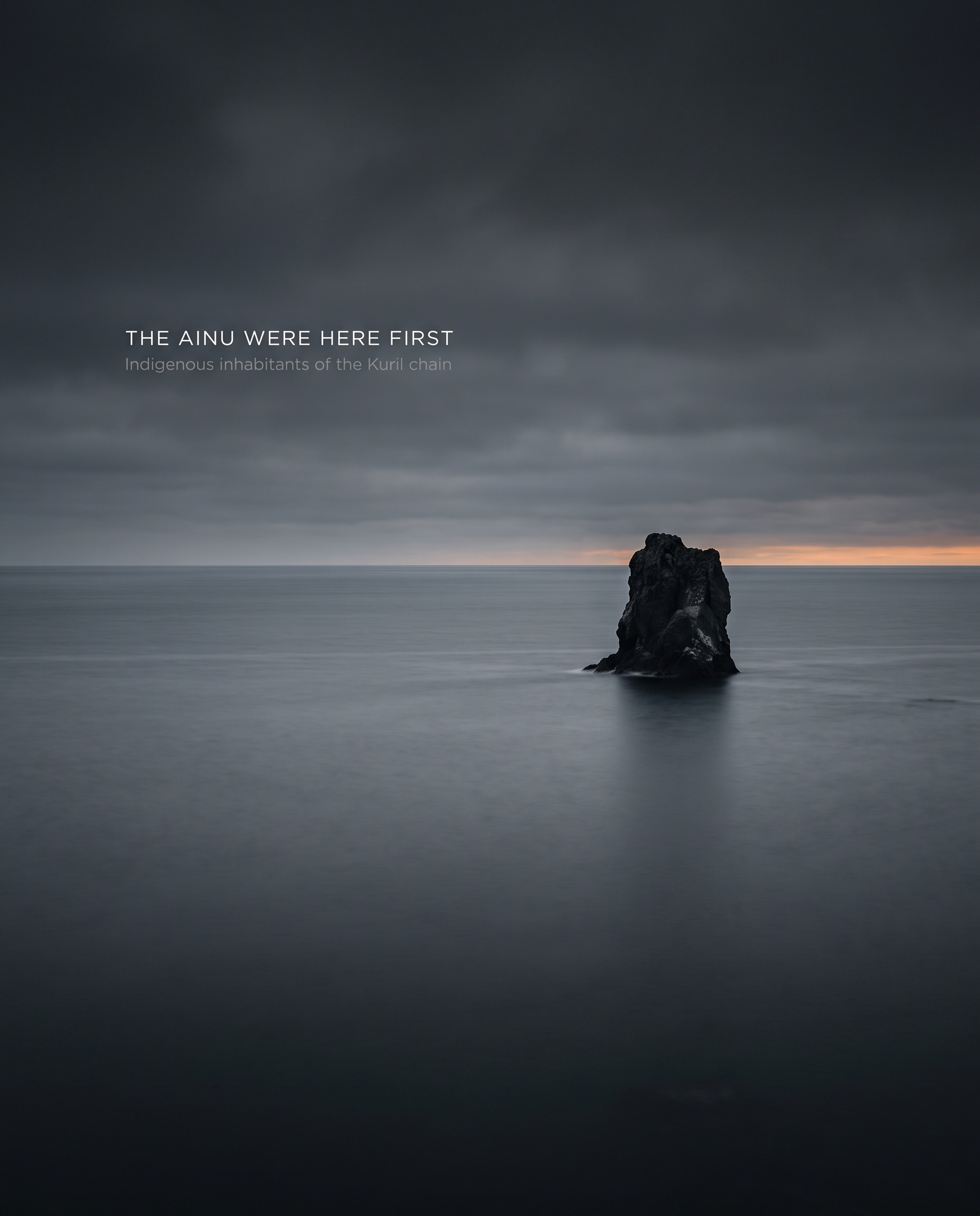
The missing party in the dispute
When the Japan Russia dispute is described as a two-sided argument, it quietly erases a third presence. The vanished villages of the Ainu are the archipelago’s oldest human layer, and the outer Kurils are now among the emptiest places in the region precisely because that layer was removed.
4. Two Treaties That Redrew the Map — Twice
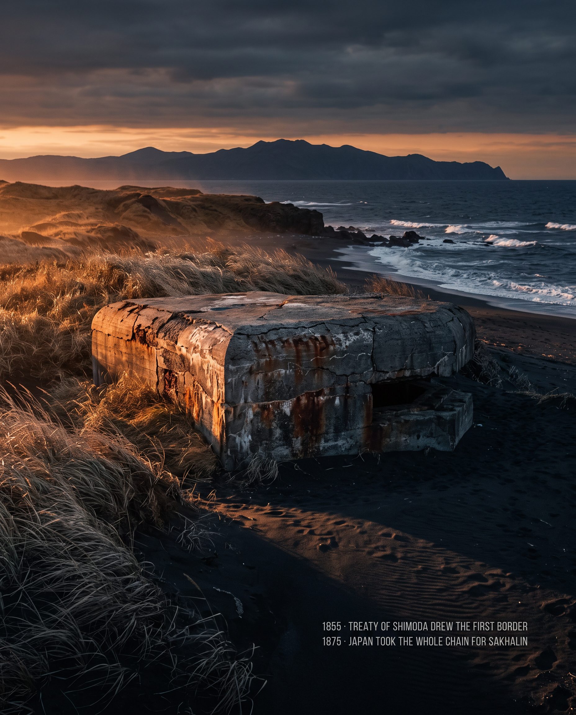
The formal history of the border begins in 1855. The Treaty of Shimoda drew the first Russo-Japanese border through the chain, dividing the islands between the two powers and putting a legal line where there had only been distance and fog.
Twenty years later the map was redrawn entirely. The 1875 Treaty of Saint Petersburg handed Japan the whole Kuril archipelago, in exchange for Russian sovereignty over Sakhalin. It was a clean swap on paper: one nation took the island chain, the other took the large island to the west.
Why 1855 still matters today
These two agreements are not historical trivia — they are the documents that arguments still circle back to. Because the border moved twice by mutual consent, both sides can point to a moment when the map favoured them. The Treaty of Shimoda in particular remains a reference point in discussions of the four southernmost islands, since it established a division of the chain that predates every twentieth-century military event.
Layered on top of the paperwork is the physical evidence of what came later. Rusting military concrete from the following century still litters the headlands — bunkers and fortifications slowly being reclaimed by grass and salt air, the leftovers of a militarised frontier.
5. One of the Richest Seas in the World
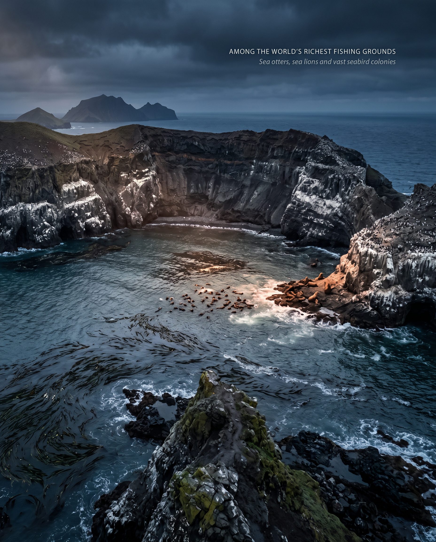
Strip away the politics and the Kurils are, ecologically, a treasure. Cold, nutrient-rich currents collide around the islands, making the surrounding seas some of the world’s richest fishing grounds. That abundance is not a side note to the dispute — control of these waters is one of the reasons the islands have always been worth arguing about.
The wildlife matches the water. The islands’ cliffs and shallows shelter sea otters, Steller’s sea lions and enormous seabird colonies, part of which is protected within Russia’s Kurilsky Nature Reserve. Sheer inaccessibility has done what conservation policy usually struggles to achieve: it has kept large stretches of this coastline close to untouched.
Protected by remoteness
Few landscapes owe so much to being difficult. The same fog, storms and ice that keep visitor numbers near zero have also kept the ecosystems intact. The Kurils are a rare case where a disputed border has functioned, accidentally, as a wilderness buffer.
6. The War That Never Formally Ended
Soviet forces occupied the islands in 1945. Nearly eight decades later, Japan and Russia have still never signed a peace treaty formally closing the dispute. That single unfinished document is the reason the Kurils appear on lists of the world’s frozen conflicts.
Japan calls the four southernmost islands — Iturup, Kunashir, Shikotan and the Habomai islets — the Northern Territories. Russia administers them. Negotiations have opened, stalled and reopened across generations of leaders without producing a settlement, leaving one of the world’s most beautiful borders permanently unsettled.
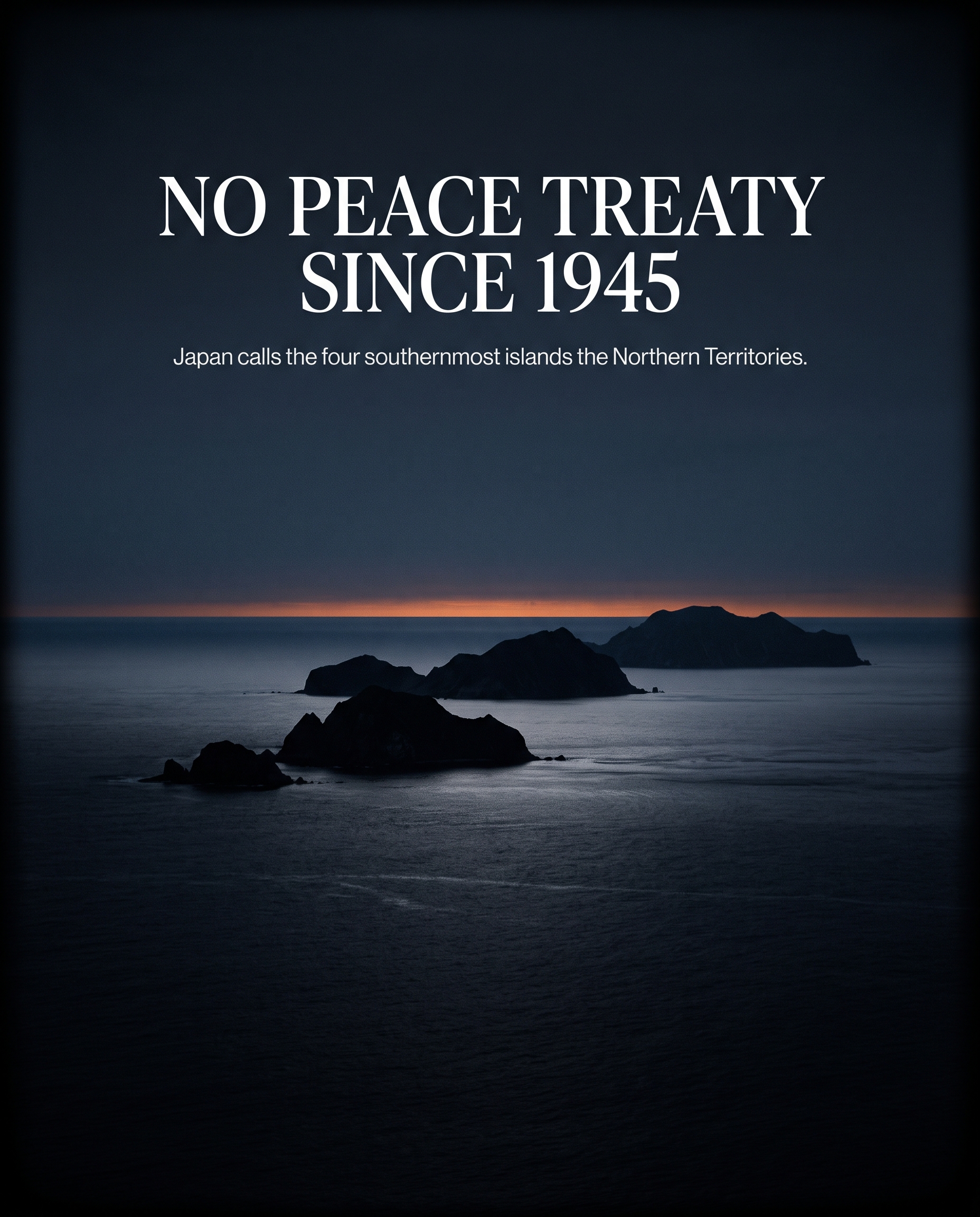
The Most Beautiful Unresolved Border on Earth
What makes the Kuril Islands so haunting is the gap between the scenery and the paperwork. Here is an archipelago of roughly 56 islands, some 40 active volcanoes, a 2,000-metre peak rising sheer from the sea, seas thick with life, otters in the kelp and seabirds in their thousands — and over all of it, an unsigned treaty.
The Ainu were displaced. The villages emptied. The bunkers rusted. The volcanoes kept erupting. And the border, drawn in 1855, redrawn in 1875 and overturned in 1945, has never been finally agreed. To understand Kuril Islands history is to accept that some places on the map are still genuinely undecided — and that the quietest of them can be the most beautiful.